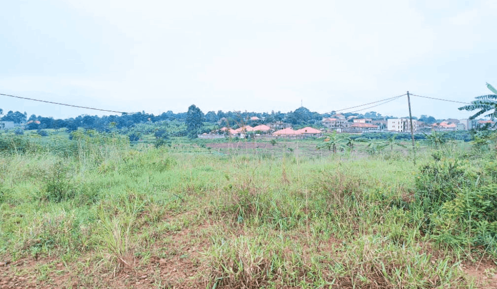
Flood Plain and Hazard Mapping Report (1:500 Scale)
UGX1,800,000
Description
A specialized engineering and geospatial report providing highly detailed flood hazard maps (at a high 1:500 scale) for a specific development site, delineating expected flood depths and inundation zones for various return periods (e.g., 100-year event), guiding planning and construction height.