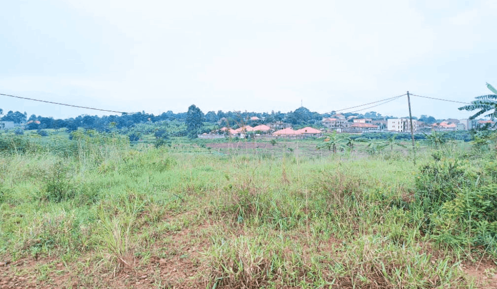
Drone Photogrammetry and Orthophoto Generation (Per Hectare)
UGX350,000
Description
Geospatial service utilizing a drone to capture hundreds of overlapping aerial images, which are then processed using specialized photogrammetry software to generate a High-Resolution Orthophoto Mosaic (a geometrically corrected aerial image), providing highly accurate, measurable site imagery.